
Cutting-edge drone tech maps land and water with laser accuracy
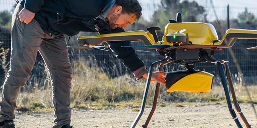
YellowScan's Navigator system utilizes lidar technology to map underwater topography in rivers, ponds, and coastal areas with high precision. It aids in environmental monitoring, tracking erosion, monitoring biodiversity, assessing coral reefs, and evaluating sea-level rise impacts.